Upland Glaciation
This web page takes you on an illustrated walk through a glaciated landscape in the Lake District. To get the most out of it print off a copy of the low resolution map which has the photo positions marked on. You can then refer to the high resolution map to see the detail.
Low Resolution Map with photo points numbered
High Resolution Map(891K) that prints as web page but without numbers
High Resolution Map(891K) as file
Other Glacial Features (to follow, not yet completed).
The Walk
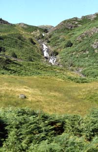
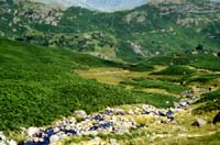
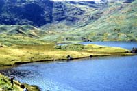
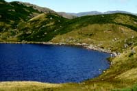
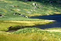
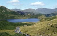
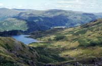
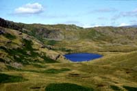
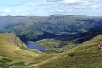
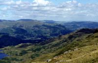
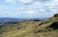
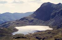
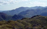
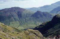
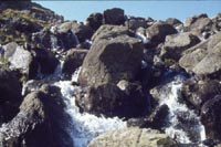
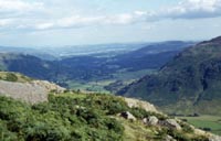
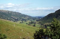
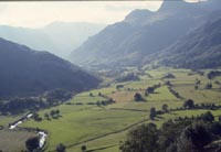
This walk started in the valley of the Easedale Beck, climbed up alongside Sourmilk Gill to Easedale Tarn which is a corrie. I then climed up the southern side of the back wall, passing Codale Tarn to the North. I turned South to pass between the two piles of stones and dropped down to the shore of Stickle Tarn which is also a corrie. Stickle Ghyll was then followed South out of the corrie and the path followed down into Great Langdale which is a glaciated valley.